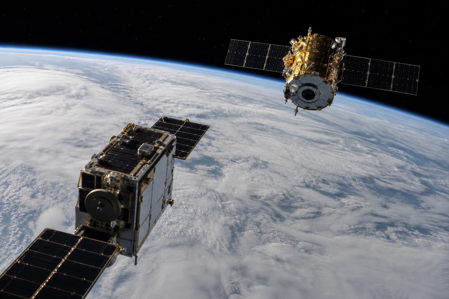
Momentus says it has completed a rendezvous-and-proximity-operations demonstration involving a NASA satellite, testing a sensing suite that combines optical imaging, infrared imagery and LiDAR. The company describes the system as AI-enabled and designed for the close-range navigation, inspection and docking tasks required by future in-orbit spacecraft services.[1]
The material point is the sensor architecture rather than the AI branding. Spacecraft approaching one another must determine relative position, velocity, orientation and hazards reliably across changing illumination and range. A comparatively low-cost, redundant mix of cameras, thermal sensing and laser ranging could make that capability more accessible for inspection missions, debris-aware operations, docking and eventual repair—provided it can be qualified beyond a single demonstration.
By the numbers
- 3 sensing modalities: optical, infrared and LiDAR.
- 2 spacecraft roles: Momentus’s vehicle and a NASA satellite participating in the proximity-operations demonstration.
- 1 operational objective: validate sensing for autonomous rendezvous, inspection, servicing and docking applications.
Why close-proximity sensing is the hard problem
Rendezvous and proximity operations, commonly called RPO, cover the phase in which one spacecraft approaches and maneuvers around another object. At broad orbital distances, ground systems and onboard navigation can rely heavily on orbit determination and radio tracking. At close range, those tools are not enough. A servicing vehicle needs to know where the target physically is, how it is rotating, which surfaces are safe to approach, and whether a predicted path creates a collision risk.
That is difficult because satellites were generally not built to cooperate with future visitors. Many have no fiducial markers, no standardized grapple fixture and limited or no capability to report their exact attitude to another spacecraft. Sun glare can overwhelm visible-light cameras; Earthshine and shadow can alter contrast; reflective multi-layer insulation can produce confusing visual features; and a noncooperative target may be tumbling.
LiDAR contributes direct range measurements by timing reflected laser pulses and can generate three-dimensional geometry when visual contrast is poor. Optical cameras can provide target recognition, feature tracking and context at relatively low mass and power. Infrared imaging can add contrast based on heat signatures and may preserve useful target features under lighting conditions that challenge a visible camera. None is universally sufficient. Combining their outputs is valuable because a weak or ambiguous reading from one modality can be checked against the others.
Momentus said its demonstration used that combined suite during operations with a NASA satellite, with onboard AI supporting the imaging and LiDAR capability.[1] The company’s announcement does not publicly specify the satellites’ separation distances, approach profile, autonomous decision boundaries, target state, sensor accuracy, false-detection rate or the amount of human supervision. Those details will determine how much the test changes technical confidence in the system.
What “AI-enabled” should mean in this context
For a proximity-operations vehicle, machine-learning software can have practical uses: detecting a target within an image, segmenting spacecraft structure from background, matching observed features with a target model, estimating pose, filtering sensor readings and flagging anomalies. These are perception problems, not an invitation to give a generative model unrestricted control of a spacecraft.
The critical engineering chain remains conventional spacecraft autonomy: calibrated sensors feed state-estimation software; navigation and guidance logic compares the estimated state with a planned keep-out zone and approach corridor; collision-avoidance constraints limit commands; and fault-management systems place the vehicle in a safe state when confidence falls below a threshold. AI-derived measurements may improve the estimate, but safety requires deterministic constraints, validation and traceability around the model’s outputs.
Sensor fusion is especially relevant. A camera might identify a familiar panel edge, LiDAR can test whether its estimated distance is physically plausible, and thermal data can help distinguish surfaces when visible imagery is degraded. Conversely, disagreement can be as useful as agreement: it can trigger a slower approach, a new observation angle or a retreat. The goal is not a spacecraft that is merely autonomous; it is one that knows when its perception is uncertain.
The economic case: less ground time, more useful missions
Continuous ground-directed operations are costly and restrictive for close approaches. Communications are not always available at the required moment, and the geometry of orbital motion can change faster than a ground team can safely manage every maneuver. High-confidence onboard sensing is therefore a prerequisite for service missions that must operate repeatedly and at commercial scale.
Potential uses extend beyond the headline prospect of robotic repair. An inspector spacecraft could image and range an aging satellite after an anomaly, assess a suspected micrometeoroid or debris strike, document deployment problems, or verify the condition of another vehicle before a more complex servicing mission is attempted. A vehicle approaching a cooperative client could use the same capabilities for docking, relocation or life-extension operations. Proximity sensing may also support safer operations around objects that need to be characterized before removal or disposal.
Cost matters because the addressable market depends on mission economics. A sensor suite made from relatively inexpensive components, if it meets space reliability and performance requirements, could lower the entry cost for spacecraft builders and reduce the amount of bespoke hardware needed on each mission. That does not eliminate the cost of propulsion, operations, licensing, insurance or target-interface design. It does improve the prospect of a reusable technology stack across inspection and servicing missions.
Key organizations and the limits of the demonstration
Momentus is the mission operator and developer presenting the result. NASA’s satellite served as the counterpart in the demonstration, according to Momentus.[1] NASA’s involvement is meaningful because it places the test in an operational space environment rather than a laboratory, but Momentus’s release should not be read as a NASA certification of the sensor system or of any future service mission.
The announcement is an early technical milestone, not evidence of a commercially mature docking product. Demonstrations can establish that instruments survive launch, gather usable data and support a planned maneuver sequence. They do not by themselves prove reliability across a target’s full range of lighting, rotation, reflectivity and failure cases. They also do not establish that the system can safely dock with an unprepared satellite, manipulate hardware, transfer propellant or conduct repairs.
There are regulatory and operational concerns as well. An autonomous vehicle moving near another operator’s spacecraft needs explicit coordination, robust collision-risk procedures and clear responsibility if navigation data are wrong. Security matters because imaging and relative-navigation systems can become part of a mission’s command-and-control attack surface. For commercial adoption, operators and insurers will want evidence from repeated tests, including off-nominal cases and independent verification of fail-safe behavior.
What to watch next
The next useful disclosures would be measurable ones: operating range, relative-navigation accuracy, target attitude conditions, lighting conditions, processing latency, the degree of onboard versus ground control, and the number of successful observation or approach passes. Testing against cooperative and noncooperative targets would answer different questions. A cooperative target can validate navigation to known geometry; a noncooperative target better tests the perception challenge facing inspection and debris-related missions.
Integration with guidance, navigation and control is also more important than a standalone sensor demonstration. The industry needs systems that can turn perception into safe maneuvering while respecting approach corridors, keeping out of hazardous zones and executing reliable aborts. Ultimately, service spacecraft will need standardized interfaces or robust methods to work around their absence.
Momentus’s test points toward an incremental route to that future: start with sensing and characterization, demonstrate reliable autonomous proximity operations, and only then add the mechanical complexity of capture, docking or repair. That sequence is less dramatic than a robotic servicing headline, but it addresses a core capability that every viable in-orbit service vehicle will need.
Editor’s Take
I see this as a more credible development than the phrase “AI-enabled” initially suggests. The useful claim is that Momentus is trying to combine inexpensive camera, thermal and ranging hardware into a redundant perception system in orbit. For a spacecraft that must work near another satellite, redundant sensing is not a feature add-on; it is basic operating equipment.
The next proof point should be quantified performance under bad geometry: shadow transitions, glare, low-contrast surfaces, target rotation and deliberately degraded sensor inputs. A company that can show safe autonomous aborts and consistent relative-state estimates in those conditions will have something service operators can price into inspection and life-extension missions. Until then, this is a promising RPO demonstration, not proof that autonomous docking or on-orbit repair is ready for routine deployment.